GIS

Augmented Reality, Birthday, Customer, Digital, Feature Spotlight, GIality, GIS, Heriot-Watt, Planning, Staff, Team Spotlight

TrueViewVisuals – 10 years in review


Ten years ago, Linknode (now trading as TrueViewVisuals) was founded as a technology company exploiting new mobile technologies in order to develop and market 3D sensor-assisted visualisations for consumers in support of business processes and products – geospatial augmented reality (AR) – GIality.  We were founded in May 2011 by Dr Crispin Hoult.  The early days were committed to securing the knowledge and
Read More

GIS, Grid, International, Terrain Data, True View Visuals, TrueViewVisuals

OSGB Coordinate Conversion Update


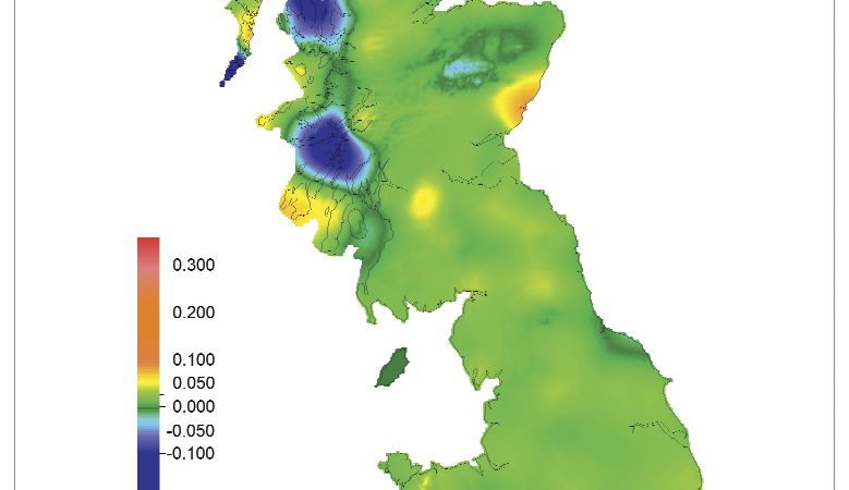
I’m sure I’ve mentioned here before that our approach to managing coordinates anywhere in the world is to use WGS84 coordinates to store locations in the database. Recently we changed the way we project them to OSGB coordinates. This post gives a bit more detail about how we do the coordinates projection. tl;dr We’ve changed

Read More

BIM, Collaboration, Digital, GIality, GIS, Heriot-Watt, Planning, Urban Planning, UrbanPlanAR

Invitation to Participate in the Innovate UK Visualisation Project :: UrbanPlanAR


UrbanPlanAR is designed to enhance the value of BIM information by enabling in-field visualisation from any location, in real-time – creating more engaging and accessible understanding, integrated with current processes, software and formats. The project is a development collaboration between Linknode Ltd and Heriot-Watt University, supported by Innovate UK (grant #102040). The solution is a disruptive

Read More