Author: George Banfill

Digitalization, LocalAuthority, RoadsOnline, Security, TrueViewVisuals

TrueViewVisuals Attains Cyber Essentials Certification!


🎉 Exciting News: TrueViewVisuals Attains Cyber Essentials Certification! 🌐 We’re thrilled to announce a significant milestone for TrueViewVisuals – we have achieved Cyber Essentials certification! This accomplishment underscores our commitment to prioritising security and privacy of our clients and their data. Our Certificate can be found on the IASME Consortium Site. Search for TrueViewVisuals https://iasme.co.uk/cyber-essentials/ncsc-certificate-search/
Read More

Panoramas, SNH Compliant output, TrueViewVisuals

Creating 53.5˚ panoramas in TrueViewVisuals


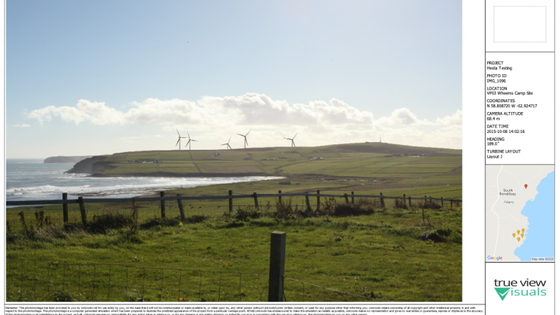
Panorama’s and associated visualisations have been used for a long time in Landscape and Visual Impact Assessment (LVIA) for a landscape. This post is going to explain how to create 53.5˚ panoramic images in TrueViewVisuals. Further posts later will explain the process of creating the other sized visualisations. Our approach is loosely based on SNH

Read More

TrueViewVisuals

Custom PDF Templates


One of the recent features we’ve added to TrueViewVisuals is to allow a template to be used to create a PDF file containing visualisations. In this post we’ll have a look at some of the features we’ve added and provide a bit of documentation on how to use them. First of all, here is an

Read More

GIS, Grid, International, Terrain Data, True View Visuals, TrueViewVisuals

OSGB Coordinate Conversion Update


I’m sure I’ve mentioned here before that our approach to managing coordinates anywhere in the world is to use WGS84 coordinates to store locations in the database. Recently we changed the way we project them to OSGB coordinates. This post gives a bit more detail about how we do the coordinates projection. tl;dr We’ve changed

Read More

Augmented Reality, Feature Spotlight, Google Street View, Landscape Architects, Planning, TrueViewVisuals

Quicker Visualisations with Google Street View


1 Comment

That’s going to save a huge amount of time generating our scoping reports Landscape Architect, during recent demo We are proud to announce that we have enabled a Street View integration for all current TrueViewVisuals customers and on all domains. This allows them to use Google Street View imagery as the background photo to their

Read More

Feature Spotlight, Solar

Designing Solar Panels


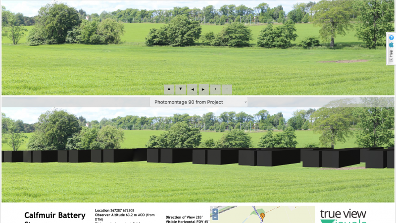
The TrueViewVisuals portal enables users to see what a solar panel will look like as they design it. Setup the Solar Panel Banks It provides a preview on the right of the screen to show what the panel bank will look like. The following options can be changed: Orientation – Portrait or Landscape Type –

Read More