
We’ve recently been working on a repowering wind project in Italy. This has meant that we needed to bring all the visualisation features of the TrueViewVisuals app to help see what a new wind project will look like in the Italian countryside.
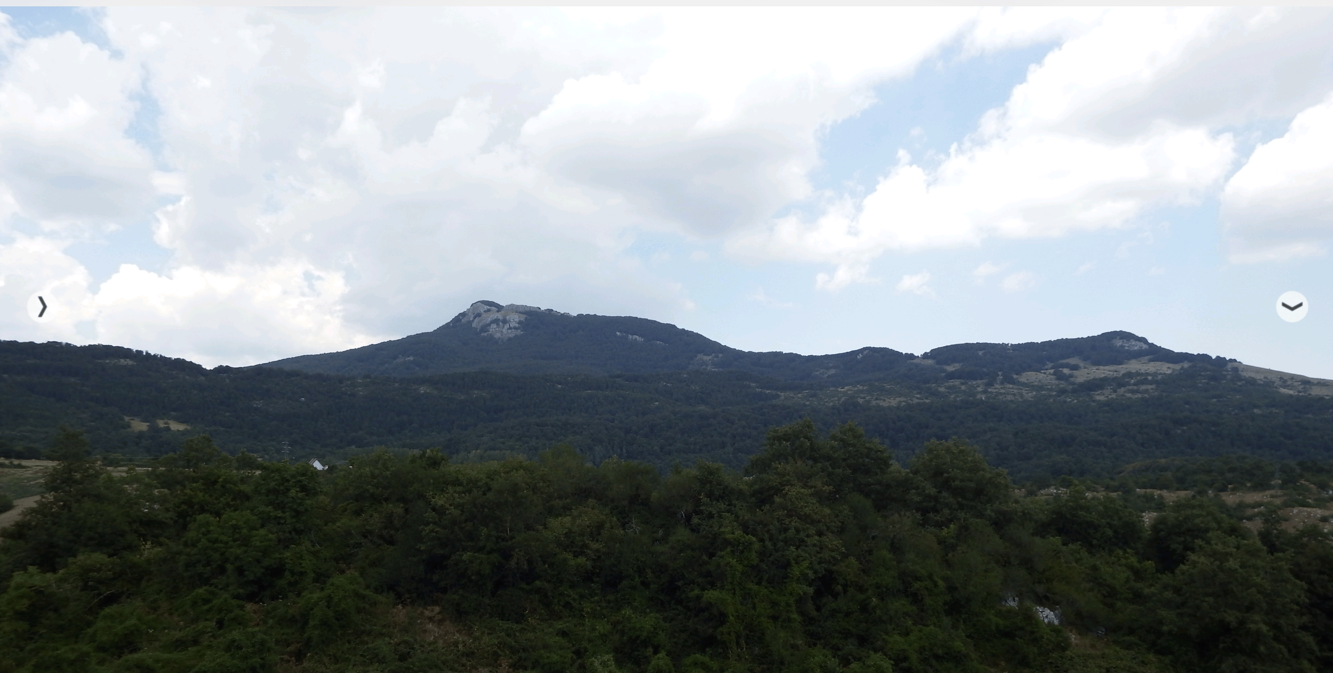
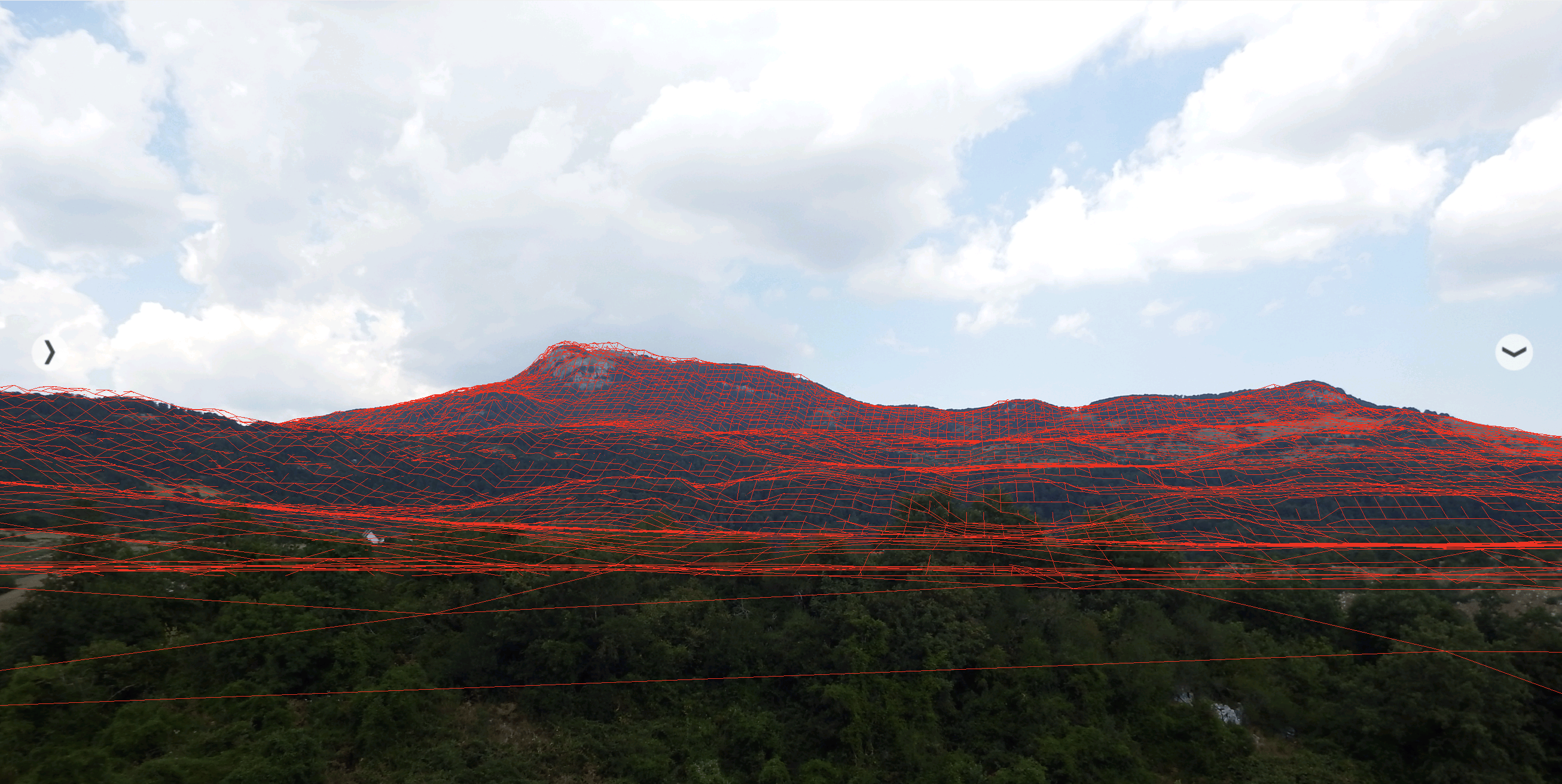
Data, Data, Data
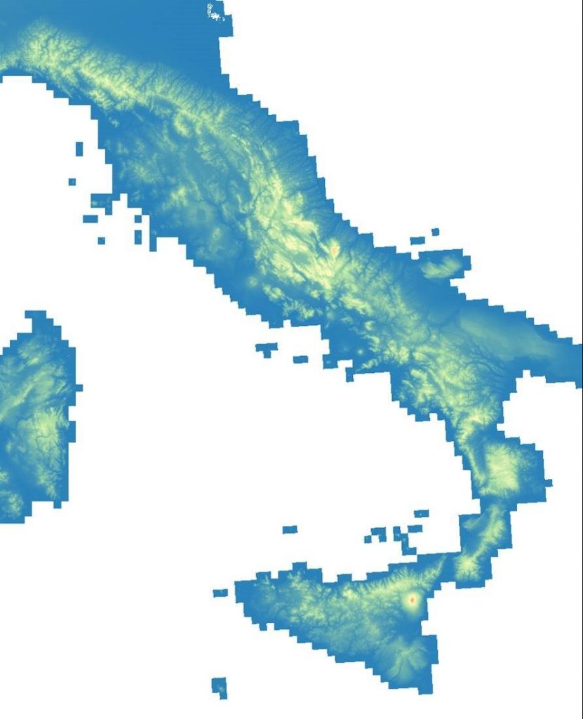
To set up a new geographic in TrueViewVisuals, we need a few bits of data.
We need a local projection to allow us to work with coordinates in a regular grid. In this case we used WGS UTM 32N.
We need terrain data. Italy has a national terrain service called SINANET DEM20. This is a 20m Digital Elevation Model for entire country. We have extracted our this particular project area and have loaded it into the TrueViewVisuals app.
For overlay maps, we have a way of extracting data from Open Street Map to ensure that our project and map align correctly.
Then we can display 3D model of wind turbines, grid models, solar panels or building as required.
Ready for Italy
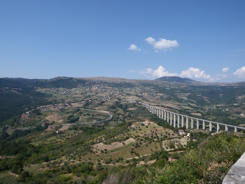
Now we have all the DTM data, we can create visualisations in Italy in minutes. From renewables to grid to buildings, TrueViewVisuals can help visualise anything anywhere. Contact us for more information.