Planning

Augmented Reality, Autodesk, B4itsBuilt, BIM, Buildings, Case Study, Digital, Future Cities, Future of Planning, GIality, Planning, Urban Planning

#PlanTech and The Future of Planning


Last week was the inaugural PlanTech Week in London, hosted at the The Urban Innovation Centre, part of the Future Cities Catapult in Clerkenwell. PlanTech #PlanTech follows in the footsteps of #PropTech and #FinTech as the technology discussion arm of the planning & development community.  PlanTech, best described in the words of the FCC founders

Read More

Augmented Reality, Case Study, Digital, Grid, Landscape Architects, Planning, Rural Planning, VentusAR, Virtual Reality

Conductor Line Sag in Grid Projects


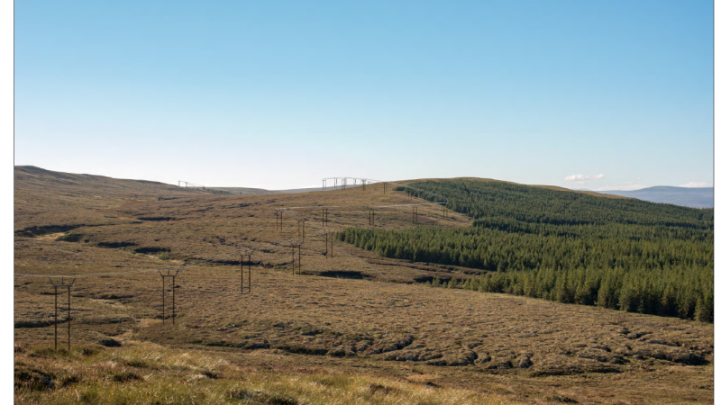
One of the features we  added recently is drawing realistic looking Conductor lines between towers on our Grid projects. Prior to VentusAR 5.4 we drew straight lines between the connector points on the tower models. This had the effect of fairly unrealistic looking conductor lines as even across the shortest distance the conductor lines sag slightly

Read More

Android, Apple, Augmented Reality, Buildings, Cross Platform, Digital, Planning, Uncategorized, Urban Planning

Future Cities :: Future of Planning


We are delighted to confirm that we have been selected as one of the shortlisted 10 projects in the Future Cities Catapult “Future of Planning” initiative.           https://smartcitiesworld.net/governance/smes-help-to-overhaul-uk-planning-1473 Our solution B4itsBuilt, mobilises citizen engagement through true visualisation. This project will extend professional, accurate, real-world AR experiences into the public domain for

Read More

Augmented Reality, Buildings, Case Study, Digital, GIality, Grid, Planning, Policy, Scottish Government, Solar, UrbanPlanAR, VentusAR, Virtual Reality, Wind

VentusAR included in 3D Technology in Planning Report


This week the research report “USE OF DIGITAL AND 3D VISUALISATION TECHNOLOGY IN PLANNING FOR NEW DEVELOPMENT” was published by the Scottish Government. This independent report examines the role and potential of digital imagery and 3D visualisation in the planning process in Scotland. Produced by the James Hutton Institute in Aberdeen, it was commissioned to

Read More

BIM, Collaboration, Digital, GIality, GIS, Heriot-Watt, Planning, Urban Planning, UrbanPlanAR

Invitation to Participate in the Innovate UK Visualisation Project :: UrbanPlanAR


UrbanPlanAR is designed to enhance the value of BIM information by enabling in-field visualisation from any location, in real-time – creating more engaging and accessible understanding, integrated with current processes, software and formats. The project is a development collaboration between Linknode Ltd and Heriot-Watt University, supported by Innovate UK (grant #102040). The solution is a disruptive

Read More

Collaboration, Digital, Planning, Policy

Planning Review Scotland – Greater use of 3D


Independent Review of Planning – Recommendations In September 2015, the Scottish Government put out a call for evidence under the Independent Review of Scottish Planning System. Linknode submitted our response on 30th November and this week (8 July 2016) the Scottish Government Response was announced on the Planning & Architecture blog. There are two key recommendations in

Read More

Buildings, Business Development, Planning, Rural Planning, Uncategorized, VentusAR

Edinburgh’s new Garden District development – what will it look like?


In the news yesterday, Murray Estates have been granted planning permission to build 6000 houses and leisure facilities on greenbelt land just outside Edinburgh. http://www.bbc.co.uk/news/uk-scotland-edinburgh-east-fife-36436284  The image below represents an overview of the area the development is planned for.

Read More