Year: 2020

TrueViewVisuals

Custom PDF Templates
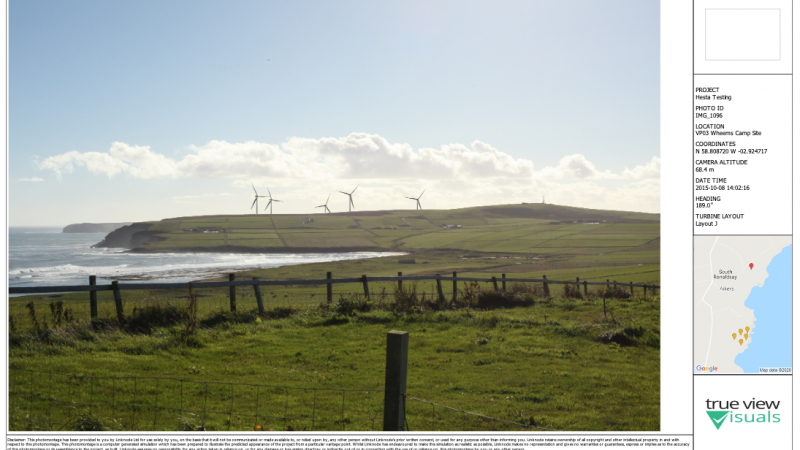

One of the recent features we’ve added to TrueViewVisuals is to allow a template to be used to create a PDF file containing visualisations. In this post we’ll have a look at some of the features we’ve added and provide a bit of documentation on how to use them. First of all, here is an

Read More

GIS, Grid, International, Terrain Data, True View Visuals, TrueViewVisuals

OSGB Coordinate Conversion Update


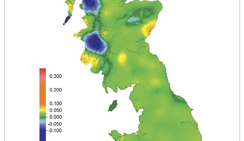
I’m sure I’ve mentioned here before that our approach to managing coordinates anywhere in the world is to use WGS84 coordinates to store locations in the database. Recently we changed the way we project them to OSGB coordinates. This post gives a bit more detail about how we do the coordinates projection. tl;dr We’ve changed

Read More

Ayrshire Roads Alliance, Digital, Gritter Tracker, LocalAuthority, Manchester City Council, TrueViewVisuals, Uncategorized, Winter Maintenance

When was my road gritted?


Climate change means more uncertainty in winter conditions with extreme weather events more likely. Combined with pressures on budgets and encouragement of active travel means local authorities must continually adapt to meet these needs. In terms of winter maintenance, this means providing 24/7 online services at the point of need – citizen focussed allowing users

Read More