
Google Street View
Contents
Google Street View can be used in the TVV iPad app to create a visualisation of a development.
Preview on the project map
An orange bar at the top of the map will ask you to Tap map to check if street view is available.
Tap on the location you are interested in on the map. This will bring up the preview popup showing the view towards the centre of the project.
In the example below, we have tapped on the A81 heading north from Glasgow – you can see the 3 turbines of the project on the top of the hill to the North.
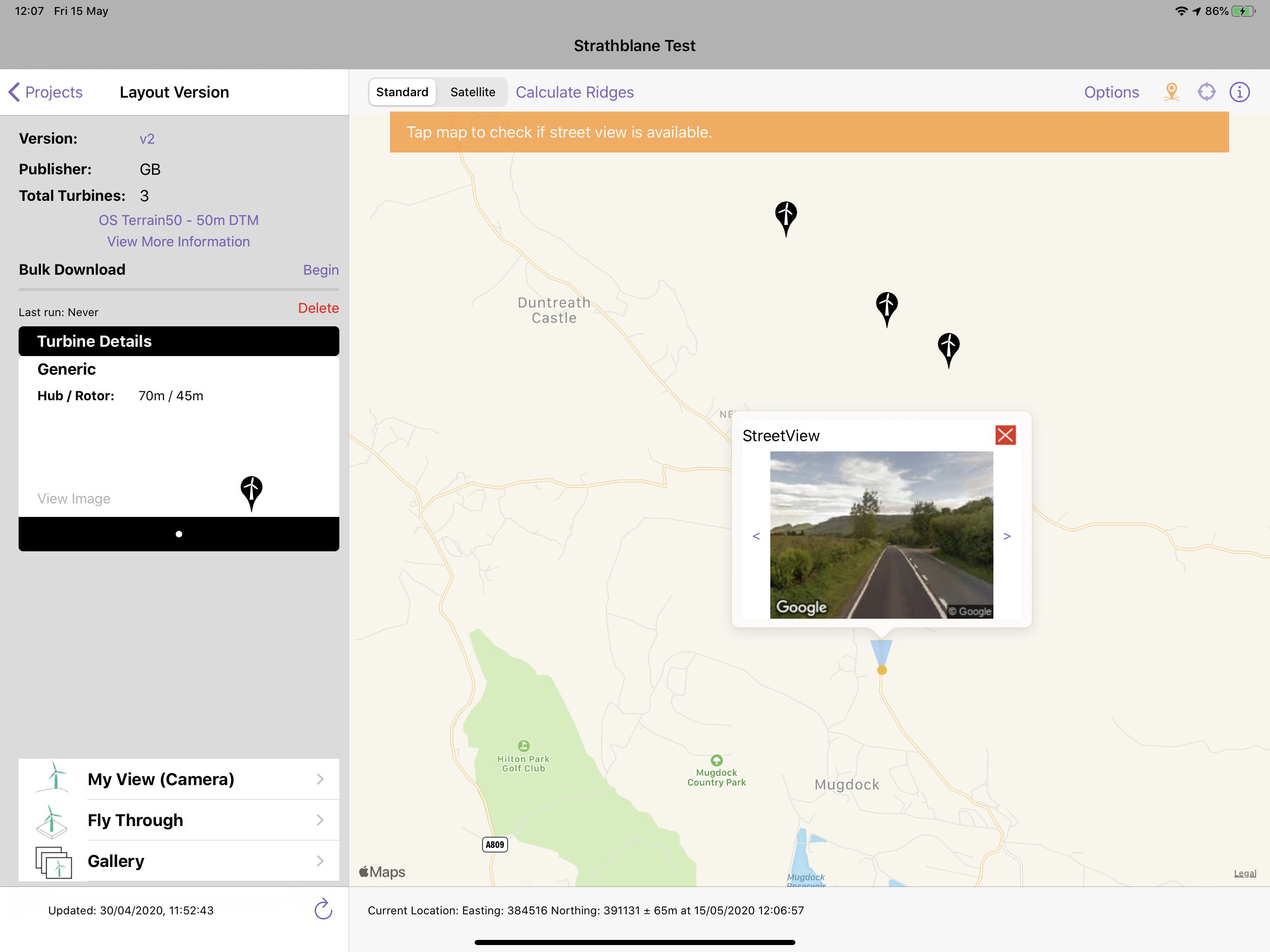
The popup window will show
- The location you tapped on will be shown as the orange dot
- The view direction is shown by the blue cone.
- The preview image showing the view from google StreetView service is shown
- Tapping on the preview image opens the full-screen view and adds the project on top of the photograph
- The left / right buttons change the view by 10degrees in each direction
- The red x button closes the preview to allow you to go back to the map behind.

Full screen street view
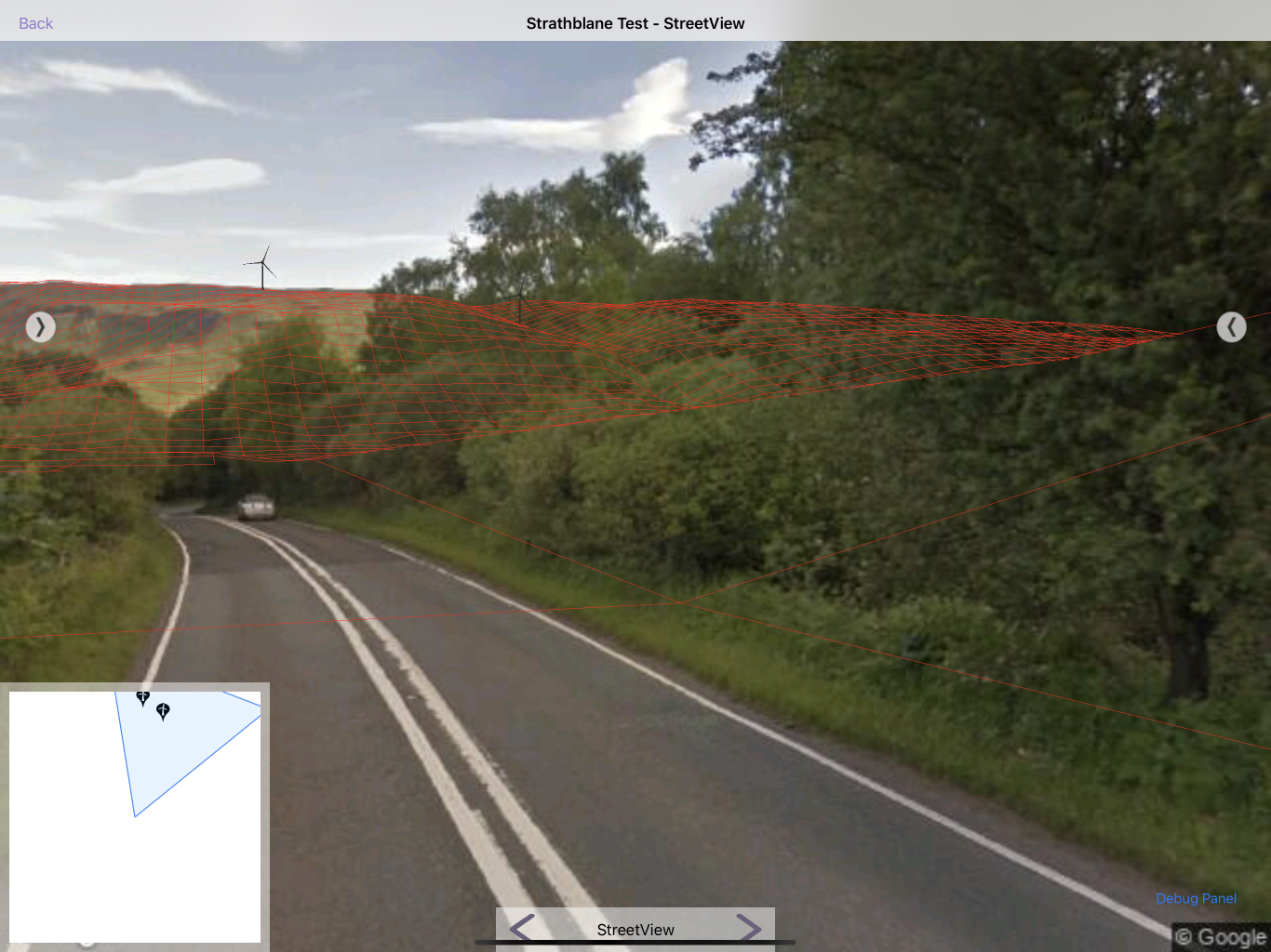
Tapping on the preview image will bring up a full screen view. The street view photograph will be the background and the wireline shown on top. A view of this version is shown below.
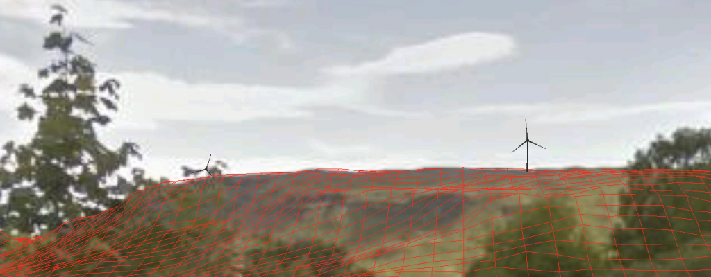
Some calibration may be required to ensure that the red wireline from the terrain model sits on top of the photography properly. The calibration panel is discussed here.
Changing direction
To look left or right from the current view, tap on the left / right buttons at the bottom of the screen to change the view by 10°.

Below are 3 views from 10° apart.
 |  |  |
Using Google Street View photography enables visualisations to be quickly create visualisations in the office. There is no need to go on site and take photos.