Blog

Augmented Reality, Birthday, Customer, Digital, Feature Spotlight, GIality, GIS, Heriot-Watt, Planning, Staff, Team Spotlight

TrueViewVisuals – 10 years in review


Ten years ago, Linknode (now trading as TrueViewVisuals) was founded as a technology company exploiting new mobile technologies in order to develop and market 3D sensor-assisted visualisations for consumers in support of business processes and products – geospatial augmented reality (AR) – GIality.  We were founded in May 2011 by Dr Crispin Hoult.  The early days were committed to securing the knowledge and

Read More

Panoramas, SNH Compliant output, TrueViewVisuals

Creating 53.5˚ panoramas in TrueViewVisuals


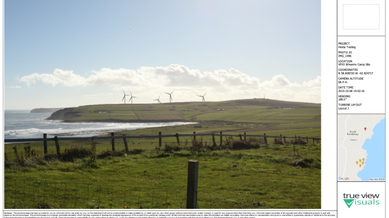
Panorama’s and associated visualisations have been used for a long time in Landscape and Visual Impact Assessment (LVIA) for a landscape. This post is going to explain how to create 53.5˚ panoramic images in TrueViewVisuals. Further posts later will explain the process of creating the other sized visualisations. Our approach is loosely based on SNH

Read More

Brexit, Consultancy, Customer, EU

TrueViewVisuals and Brexit


TrueViewVisuals do not currently envisage any issues for our support and consultancy services for our domestic customers, with regards to Brexit. We do not employ any EU citizens, and we have no plans to. We do have some service-based customers in the EU, but we do not use EU agents to service these contracts and

Read More

TrueViewVisuals

Custom PDF Templates


One of the recent features we’ve added to TrueViewVisuals is to allow a template to be used to create a PDF file containing visualisations. In this post we’ll have a look at some of the features we’ve added and provide a bit of documentation on how to use them. First of all, here is an

Read More

GIS, Grid, International, Terrain Data, True View Visuals, TrueViewVisuals

OSGB Coordinate Conversion Update


I’m sure I’ve mentioned here before that our approach to managing coordinates anywhere in the world is to use WGS84 coordinates to store locations in the database. Recently we changed the way we project them to OSGB coordinates. This post gives a bit more detail about how we do the coordinates projection. tl;dr We’ve changed

Read More

Ayrshire Roads Alliance, Digital, Gritter Tracker, LocalAuthority, Manchester City Council, TrueViewVisuals, Uncategorized, Winter Maintenance

When was my road gritted?


Climate change means more uncertainty in winter conditions with extreme weather events more likely. Combined with pressures on budgets and encouragement of active travel means local authorities must continually adapt to meet these needs. In terms of winter maintenance, this means providing 24/7 online services at the point of need – citizen focussed allowing users

Read More

Christmas, Customer, TrueViewVisuals

A very Merry Christmas from TrueViewVisuals


From wind farm visualisations, photomontages, bespoke 3D modelling to gritter tracking and new Alexa skills – another busy year draws to a close. Everyone at TrueViewVisuals would like to thank our customers, suppliers and friends for all your support, and look forward to working with you in the New Year. Merry Christmas one and all.

Read More

Uncategorized

Reprojecting DTM from Graticule to Grid


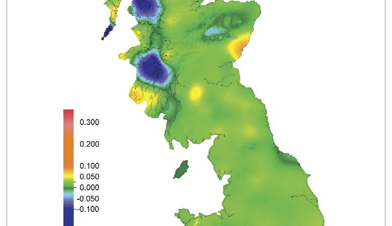
We recently needed to process a digital terrain model (DTM) that was provided in an unprojected grid – ie in longitude and latitude and use in TrueViewVisuals. This post explains our process. Data Validation We use GDAL tools (part of OSGeo) to process raw data and also QGIS for desktop GUI with GRASS tools. For

Read More